All Resources
Ridges, Plains and Mountains
Source:
NASA/JPL
Published:
July 8, 2017
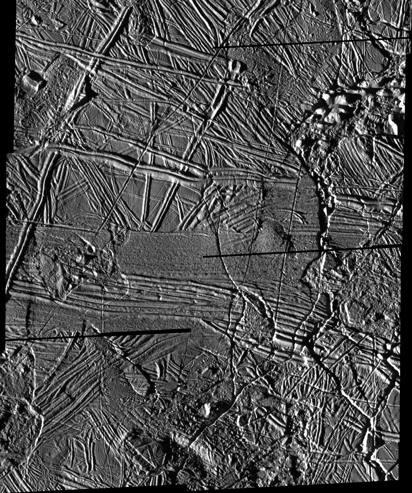
This high resolution mosaic shows ridges, plains and mountains on Europa. The sun illuminates the scene from the left, showing hundreds of ridges that cut across each other, indicating multiple episodes of ridge formation either by volcanic or tectonic activity within the ice.
The mosaic, centered at 35.4 degrees north latitude and 86.8 degrees west longitude, covers an area of 66 miles by 55 miles (108 kilometers by 90 kilometers). North is to the top of the image. The smallest distinguishable features in the image are about 223 feet (68 meters) across. These images were obtained by Galileo's Solid State Imaging (SSI) system on November 6, 1997, when the spacecraft was approximately 1,983 miles (3,250 kilometers) from Europa.